In 2025, a wildfire devastated eighteen square kilometres of the North York Moors. It burned away soils, severely impacted farming and tourist businesses, and led to the closure of open access and major rights of way. Fire has permanently altered Fylingdales Moor, and parts of it will recover to be different habitats than before. The fire was started by human carelessness, but the reasons it became the biggest wildfire ever in North Yorkshire are more complex; influenced both by historical land management and the past use of the moor for military training. More fundamentally this event was driven by climate change.
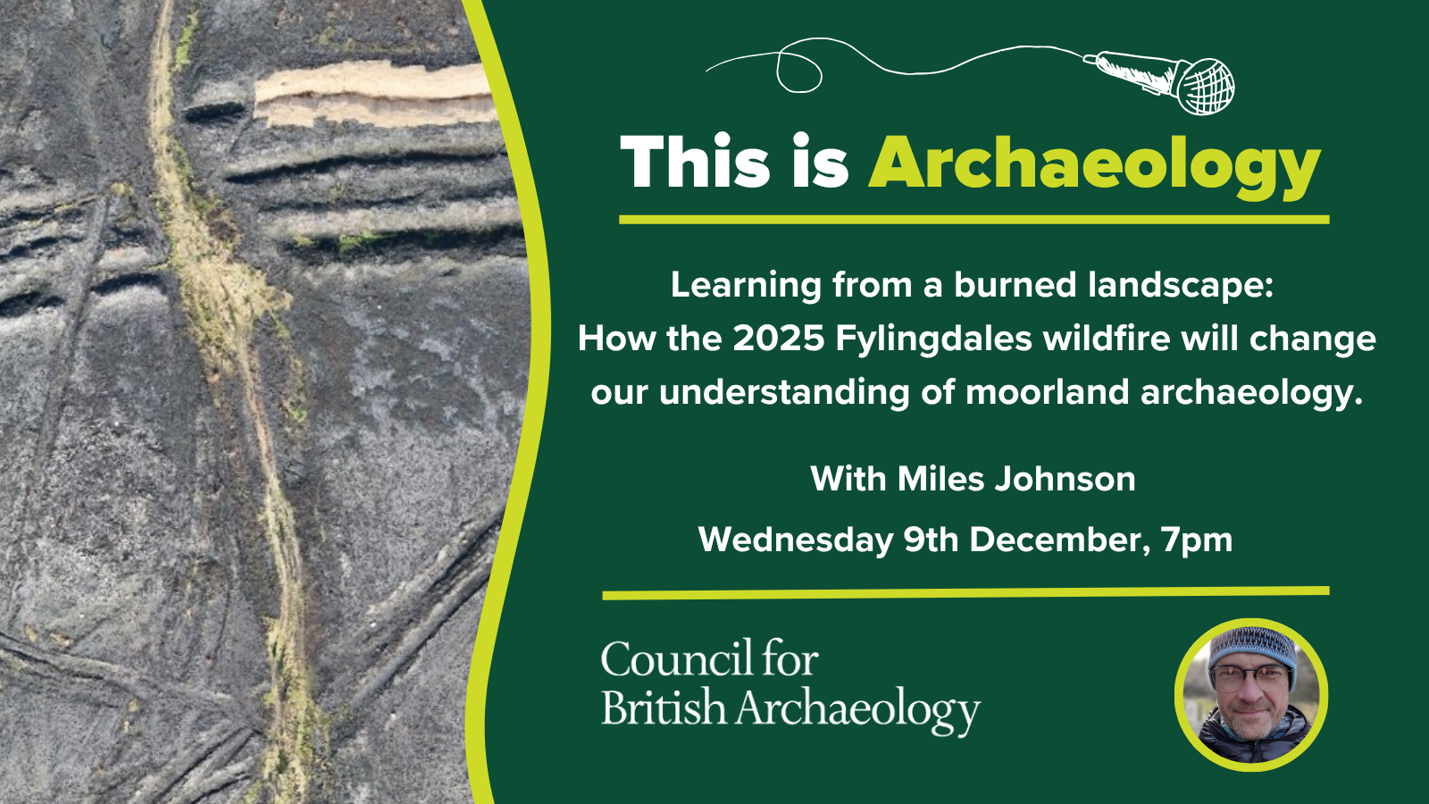
The post-fire landscape is readable in a way rarely seen outside of excavations. This lecture gives a sense of the vast numbers of known and previously unrecorded archaeological features that are now visible in granular detail. They include types of monuments that are rarely seen and many features we don’t yet understand. At the same time, these remains are now exposed to continuous erosion from wind and rain, it is a resource we are rapidly losing.
The need to quickly restore a huge area of landscape and to record and stabilise the remains within it poses a challenge that we aren’t fully prepared for. There are no business-as-usual options for an archaeological response, and circumstances have forced different approaches to help capture and understand the landscape exposed at Fylingdales. There is much to learn from and about the post-fire landscape but equally, wider lessons in how we need to adapt archaeology to the reality of a changing climate.