External
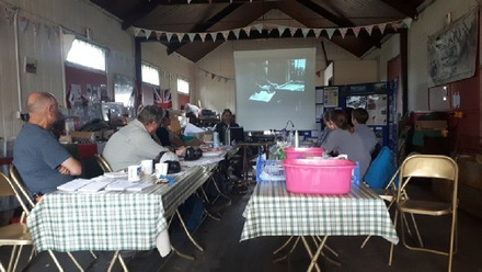
This training school by Mercian Archaeological Services CIC is designed to provide delegates with and introduction to using GIS (Geographic Information Systems) for archaeology.
Archaeological GIS training:
Delegates will work with survey data and learn how to create maps, vector layers and geo-
A Geographic Information System (GIS) is a system designed to capture, store, manipulate, analyse, manage, and present spatial or geographic data.
Archaeologists use GIS for many things including creating maps, analysing landscapes, understanding archaeological sites, creating 3D models, viewshed analysis, presenting survey data and more.
GIS is a great way to integrate data from projects and can be used to analyse that data as well as present it in the form of maps for publication.