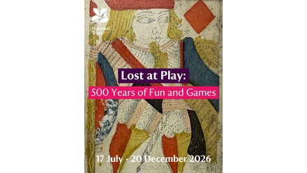
Whether lost at play or purposefully hidden, these items tell the story of play across five centuries. Some of these toys are familiar, including a domino, playing card and chess piece, while others, like the gaming tokens carved out of animal bone, add intrigue to the history of play. A family day out for all ages to enjoy!