Buckholt Bryngaer Community Interest Company (Company number 14681405) has been constituted ‘to preserve, protect and maintain the site of an Iron-Age hillfort in Buckholt Wood near Monmouth and open the site up as a communal outdoor space’.
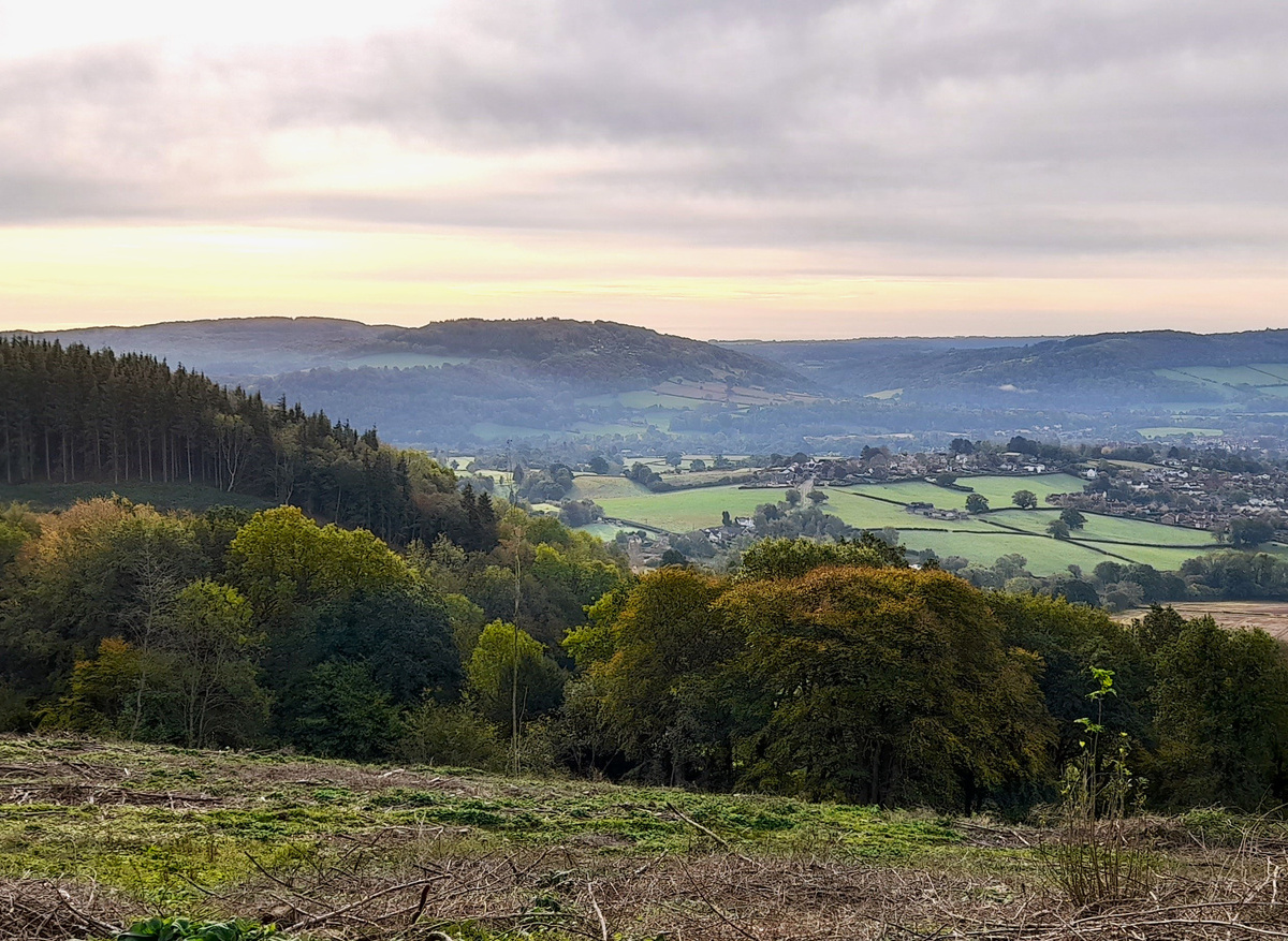
The wood was mentioned in AD 1282 and has banks around its northern edge which may be linked to the edge of the wood, also serving as a possible edge of the Forest of Dean, for hunting is implied in the name ‘Buck-holt’ (Townley, 2004: 149-150) – literally ‘the wooded hill (OE) of the male deer’. Stephen Clarke (2008: 146) reports the discovery of small sherds of Iron Age pottery in exposed soil on the sides of a track at Buckholt Woods. Two of the sherds were identified by Dr Alan Vince as a shell-tempered ware and Malvernian ware. Clarke (2008: 189) also notes the possibility of Early Medieval reoccupation of the site, noting (Clarke: 195) the reported discovery of a 10th century hoard of Saxon coins from Buckholt Wood and a hoard of short cross silver pennies, issued c. AD 991-997, found in the ruins of an old cottage in woodland overlooking Monmouth (within the Buckholt Valley), but seemingly lost. The boundary between England and Wales passes though the wood, close to the enclosure, to the north and west. The enclosure is located just inside Wales.
Mark Lewis of Amgueddfa Cymru was approached by Janet Bailey of the Monmouthshire Antiquarian Association and Tessa Steel of the Buckholt Bryngaer CIC to attempt geophysical surveying as a free volunteer training event opportunity. Following visits from Amelia Pannett (Field Monument Warden) and Will Davies (Inspector of Ancient Monuments) of Cadw, a Section 42 Consent for geophysical surveys was obtained to work within the Scheduled Ancient Monument.
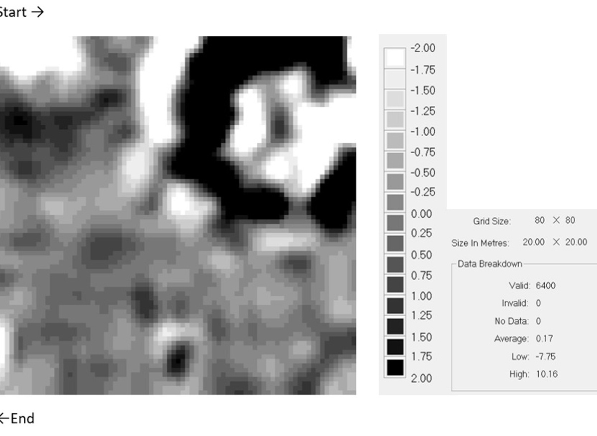
A 20m x 20m Bartington™ gradiometer survey was conducted just inside the enclosure using manual ‘single shot’ capture because of the undergrowth. The gradiometer data was processed using Snuffler software and the results are included in one of the figures along with details of the processing undertaken (units nT).
The strong black and white feature in the top-right corner of the survey might be expected to be the result of a high-temperature event, e.g., where burning had taken place, and whilst it was tempting to interpret this as a burnt-down Iron Age round house with a central hearth, a charcoal production clamp, with its central ‘motty peg’ and charging hole, is another likely interpretation given the woodland setting.
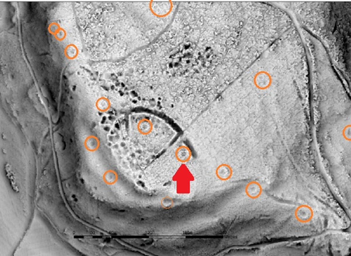
Recourse to LiDAR data (see images) provided by Simon Maddison, shows lines of similar, mounded, ring-like features across the hillside. These suggested a systematic woodland management (coppicing) for charcoal burning prior to the larch plantation.
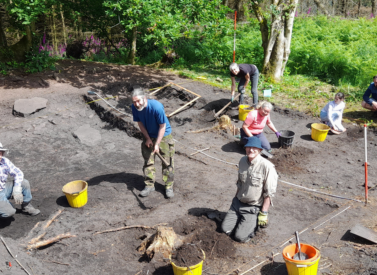
A successful Heritage Lottery Fund application, supported by Churchill Archaeology Ltd. and Amgueddfa Cymru, enabled a six-day community excavation to ground truth the geophysical feature. A 10m x 10m trench was agreed with Cadw.
Surface finds of three fragments of 19th-20th century bottle and vessel glass suggest that they were either associated with the clamp or dropped on its abandoned surface at a later date. Nearly 2kg of charcoal fragments were collected for species analysis and possible radiocarbon dating.
The site was planned prior to laying a protective covering over the excavated area.
A copy of the initial geophysical survey report and the references in this article can be downloaded as a pdf file from Buckholt Wood Hilltop Enclosure | Coflein


