I am the Historic Environment Record (HER) Assistant, working as part of the Historic Places team at Lincolnshire County Council. I have a background in Geographical Information Science (GIS) and survey. My research focuses on Roman frontiers, but I get to work across all time periods in my role at the HER.
I should probably start by explaining what the HER is. The Lincolnshire HER is a digital, map-based database with records of all the known archaeology and heritage in the county. It is one of many HERs across the country, which all together hold a lot of information and data about the UK’s heritage! Altogether, the Lincolnshire HER has about 100,000 records, which is made up of records for monuments (flint tool scatters, coin hoards, Roman roads, historic canals, cropmark sites, deserted medieval villages, historic buildings, etc), events (excavations, surveys, fieldwalking), finds (pottery, stone tools, coins) and sources (excavation reports, journal articles, books, etc). We also have a decent-sized collection of hardcopy material, including a library, thousands of old aerial photographs, and other paper records. The HER is freely accessible to the public and academic researchers who are studying and learning about Lincolnshire and is also used as part of the planning process by commercial archaeology companies and developers.
My days can vary a lot as far as what I am working one, but I will go through some of my main tasks. The first is updating existing records and adding new records to the HER. Older records need to be checked over and updated to make sure they meet modern standards, and new records need to be created as excavations, surveys and research are completed. We receive reports from archaeology companies, purchase books and journals, and conduct our own research, which I then read and add into the database.
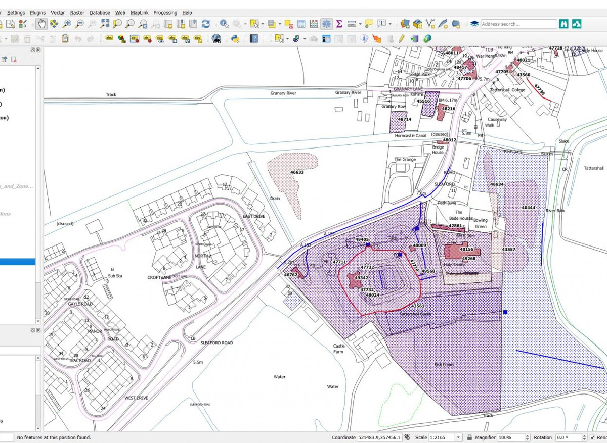
My other main task is running searches through the HER. We regularly get inquiries from members of the public, academics and archaeologists, asking for information. These range from how old is my house, or what’s that bump in the field near me to can I have all your records for prehistoric settlements or what records do you have within 1km of this plot of land where we want to build a house? By putting in the right search terms or parameters, I can pull out the records and the mapping data that people are looking for.
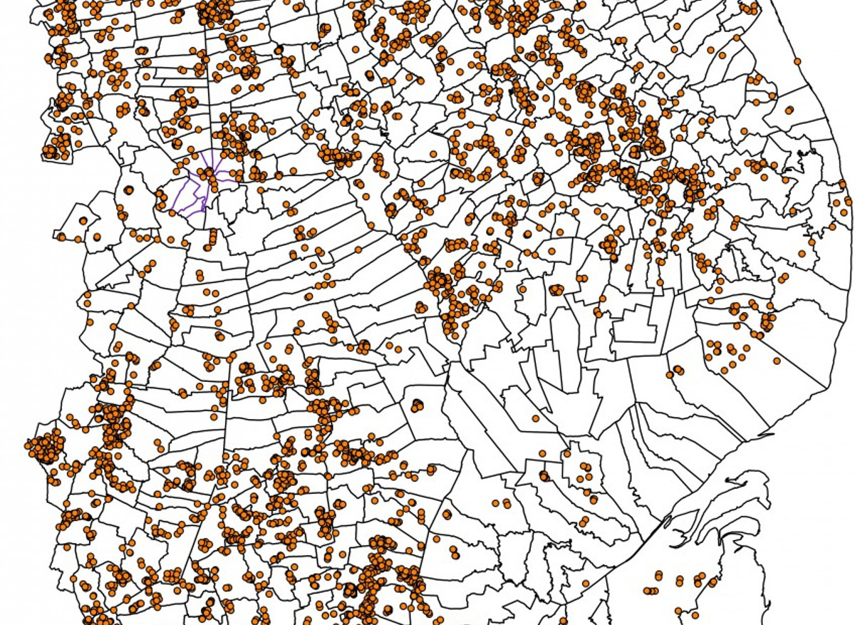
Outside of those tasks, I work on a lot of other little projects. For the past two years, I have been mapping the locations of all our aerial photos. I just recently finished our main collection of images – over 5600 photos so far! Now I’m working on random boxes of photos that we’ve found while cleaning up our storage area and going through old files.
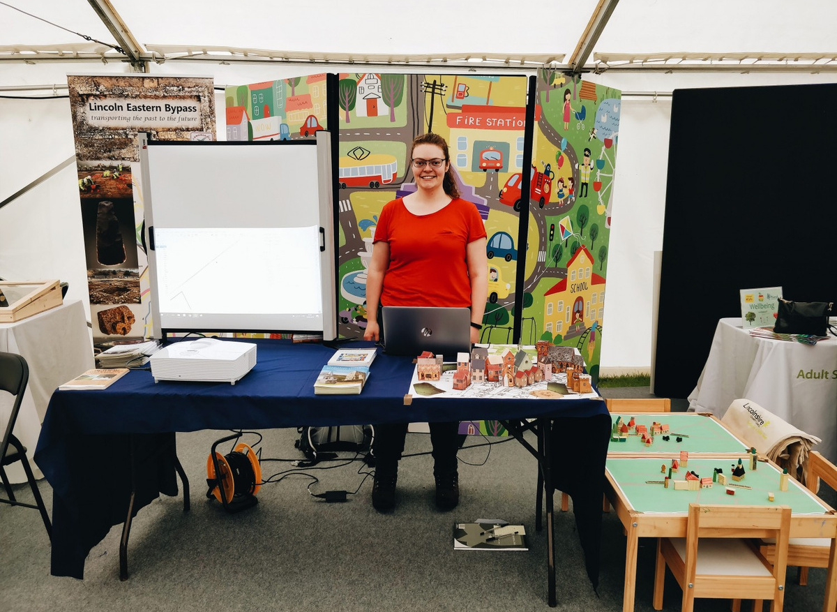
I’m a keen photographer, so I have been taking photos of historic towns across the county for the Lincolnshire Extensive Urban Survey Project, which is being run by one of my colleagues. I connect with local history groups and universities and have given several talks about the HER and how it can be used in research. One of my favourite parts of my job is doing outreach and engaging with the public. Since we are all working from home at the moment, our biggest bit of outreach is the HER twitter account (@HistPlacesLincs). Lincolnshire’s history and archaeology are amazing, and it is so much fun finding interesting stories, places, artefacts and photos to share. We are also busy putting together a virtual tour of Boston’s historic pubs for an online Heritage Open Days event, so keep an eye out for that in September!
"