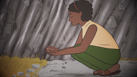
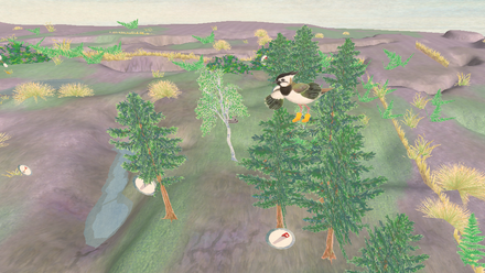
Forest of Dean Hidden Heritage App
As you explore the trail, your location will be tracked on the map using the GPS built into your device. When you near a point of interest, the GPS triggers a set of information which relates to the site. This could be text, a static historic picture or a “fading image” that shows a smooth transition between the historic and modern landscape, taking you back in time to see what was once there.