I am an Aerial Investigation and Mapping Investigator working as part of Historic England’s Archaeological Investigation team https://historicengland.org.uk/research/methods/airborne-remote-sensing/aerial-investigation/. I am currently involved in part of the Bishop Auckland Heritage Action Zone project; a five-year programme aiming to reinvigorate the historic market place and high streets https://historicengland.org.uk/services-skills/heritage-action-zones/bishop-auckland/. My work is focussed on other parts of the conservation area, including Auckland Castle and Auckland Park.
My research from today will form part of a planned Historic Area Assessment which will summarise the development, character and significance of bishop Auckland, castle and castle parkland and will be used to inform future decisions relating to restoration and reuse, development, heritage protection and engagement.
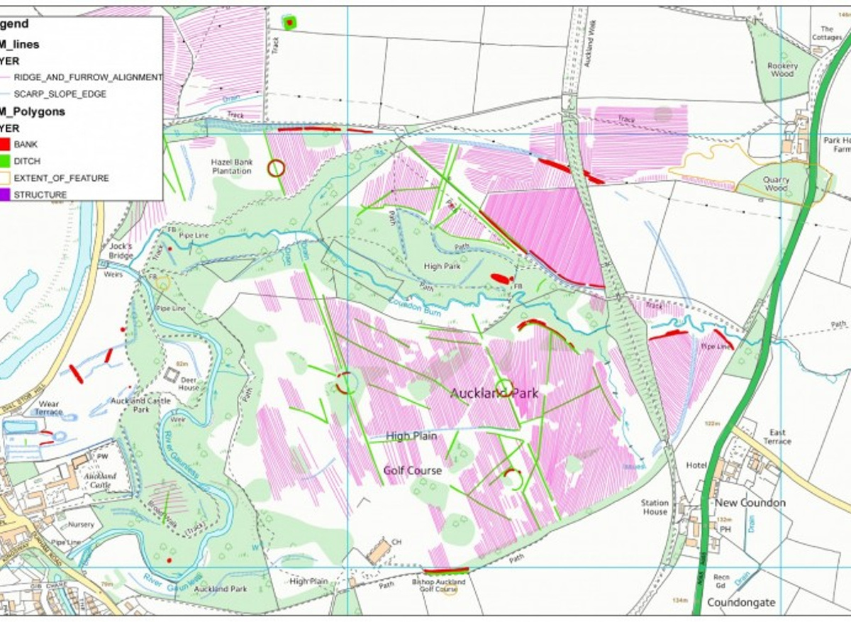
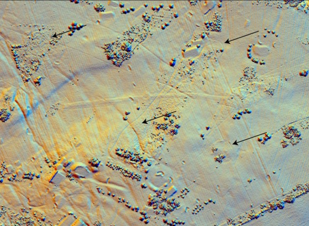
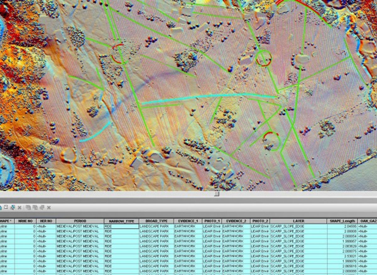
I have spent the last few weeks mapping archaeological remains in the park using Historic England Archive aerial photographs, Environment Agency lidar (for more info see here https://historicengland.org.uk/research/methods/airborne-remote-sensing/lidar/) and historic Ordnance Survey mapping. The mapping phase is almost complete, and the results can be seen below.
Auckland park started life as a medieval deer park associated with the residence of the bishops of Durham. 18th century landscaping followed fashions of the time.
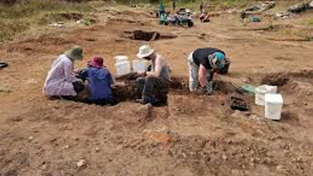
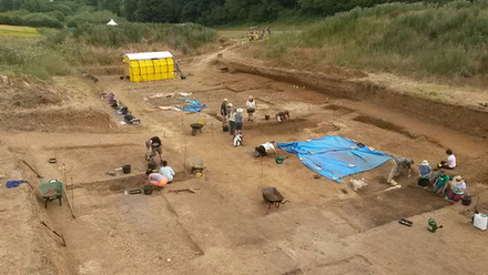
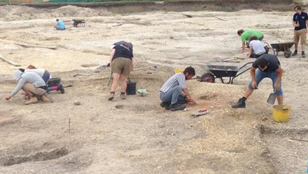
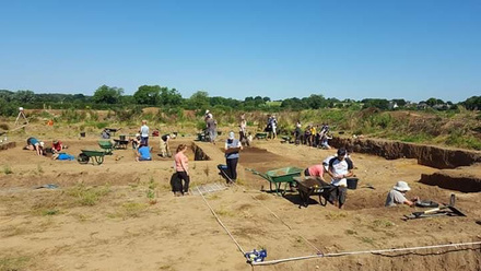
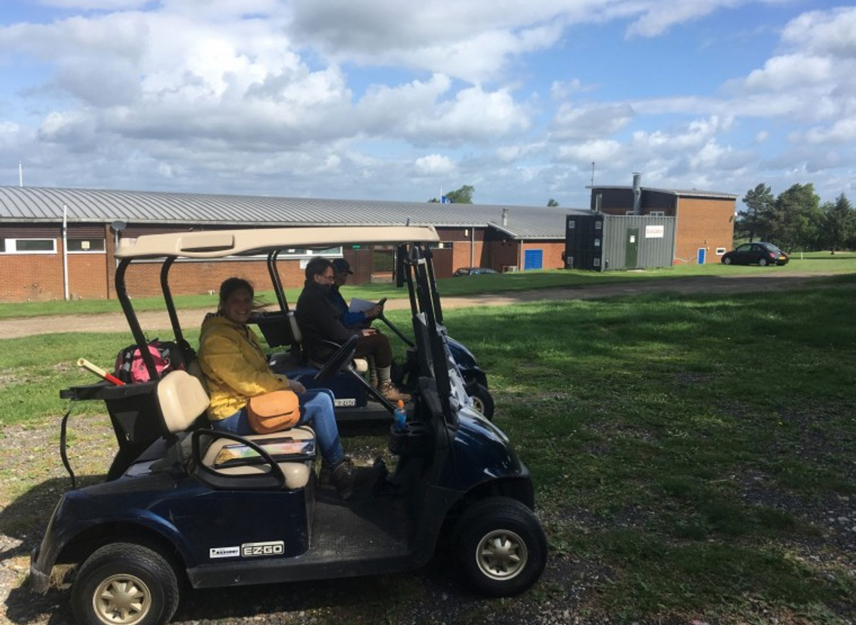
I recently joined my Archaeological Investigation colleagues Rebecca Pullen and Marcus Jecock out in the field for a day of non-intrusive survey and earthwork recording to help better understand some of the more puzzling aspects of the park and to check survival. Most of Auckland Park is now Bishop Auckland Golf Club and the highlight of this fieldwork for me was whizzing around in a golf buggy!
Today’s task is to look at my original interpretations and make any amendments following on from the site visits. I had previously recorded some tree enclosure rings from lidar showing as circular earthwork banks and ditches. These features define the extent of formal tree planting arrangements relating to the laying out of the park in the mid-18thcentury. Our site visit confirmed that three survive well in Middle Park and that the fourth was, as expected, removed by later landscaping in the area. At the centre of the park is a linear feature running east to west with a central camber - the field visit confirmed my interpretation that this was a ride - a road or way for horseback riding or carriage rides within a park or estate. These were often used by owners to survey and show off their grounds and the site visit confirmed that it reveals lovely views back towards the Bishop Palace.
I mapped the archaeological remains using Esri ArcMap and each archaeological element that I have digitised also has attribute data attached, providing the interpretation with information such as the date (period), the survival of the remains (evidence) and the aerial source I used to map the feature from. Anyone using the data can simply click on the feature to see my interpretation. I will need to change the date of this feature to post medieval as it definitely relates to the mid-eighteenth-century parkland rather than the earlier medieval deer park.
I brought in an historic vertical RAF photograph to my GIS that showed the eastern edge of the park as I need to map a linear ditched feature located to the east of the current park boundary. It appears to be a park pale, a boundary to keep deer within the parkland, and could date to the medieval period. This means that the deer park was almost certainly larger than the current park and the medieval park is believed to be larger still. I have already drawn the extensive medieval and post medieval ridge and furrow within the current park.
You will be able to read about our results in the Research Report Series, so keep an eye out for it on Historic England’s website in the coming months. When finalised, the interpretation and mapping from aerial photographs will be deposited and available from Durham Historic Environment Record and the Historic England Archive.