
Hi!
I am Nicky, the Project Officer working on the Lincolnshire Extensive Urban Survey (EUS). The EUS is a Historic England project that has been running since 1992, of which Lincolnshire is the latest!
So, what is the survey looking at? In a nutshell we are looking at the history, archaeology, development, and character of 30 of Lincolnshire's towns. Each town is also mapped digitally to help us understand exactly how it has grown and why. The outputs are a report and a set of maps showing exactly how it has developed and what it is like today.
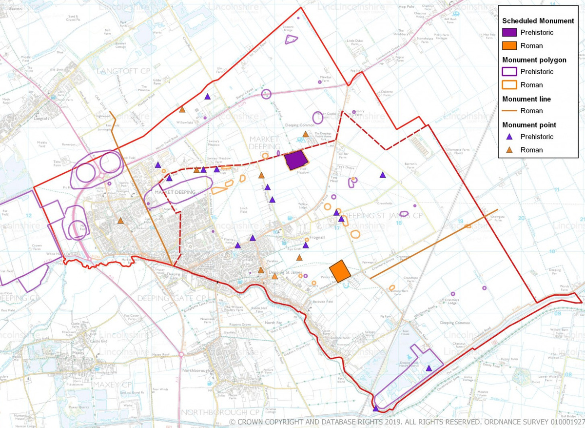
I am going to talk you through how we survey Lincolnshire's towns. So, we start off with a search from the HER – or Historic Environment Record, this is a database of all of the historic sites, buildings and archaeological investigations in the county (Kathryn's post will tell you all about it! https://festival.archaeologyuk.org/day/posts/day-life-her-assistant-1594629329). Once this is done, we will then research the history of the town, using resources such as books, newspaper articles, directories, and historical maps.
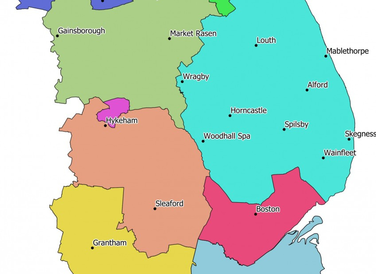
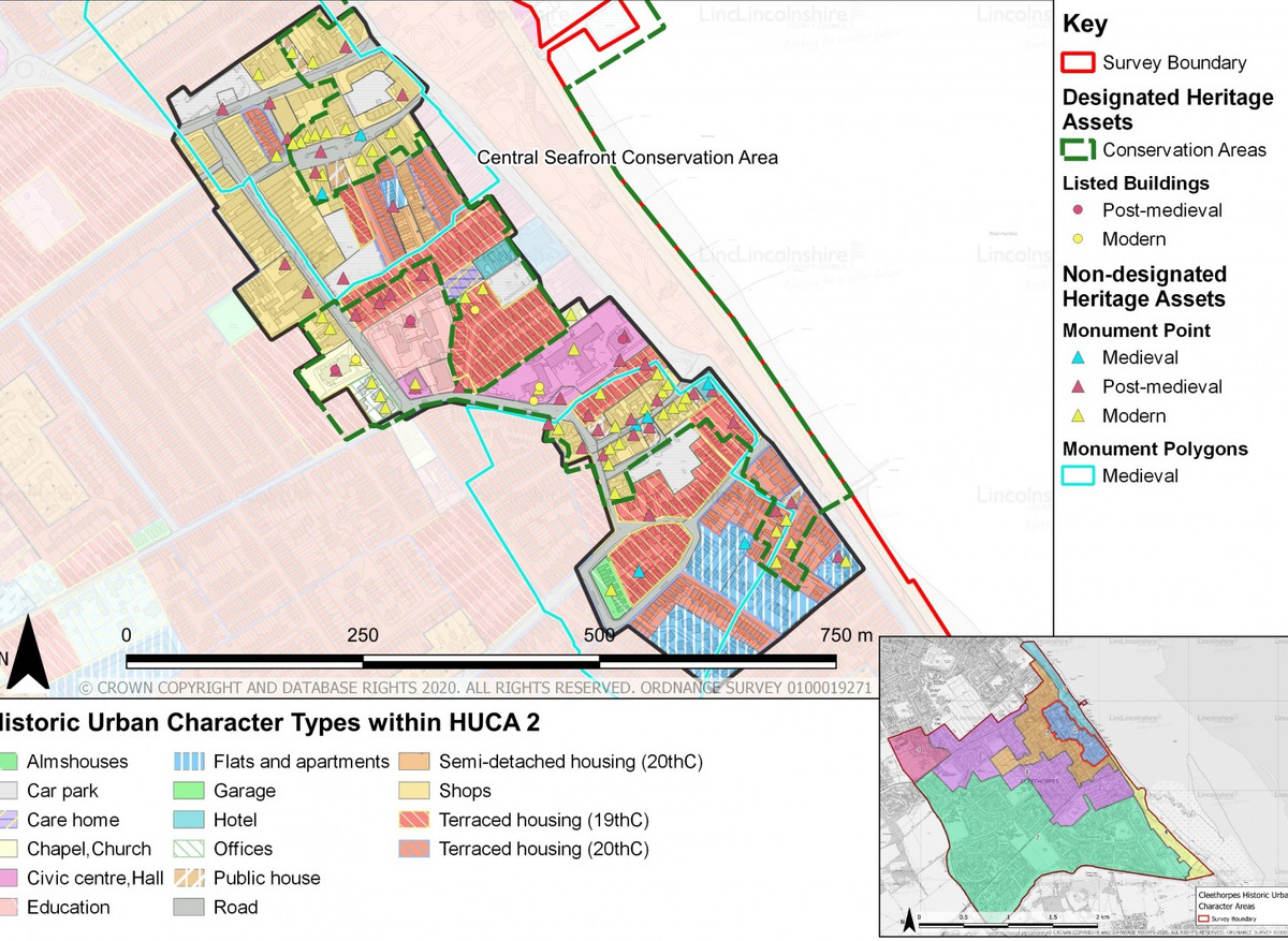
Using this information a digital map is then created of the town using GIS software to draw digital shapes (polygons) around an area to record what its character was at different points through history. An example could be a medieval open field that became an 18th century farmstead then a mid-20th century industrial estate before becoming a 21st century residential street. These will be drawn until the entire town is 'coloured in'. Boston has over 1000 of these individual polygons! The mapping is really great for highlighting patterns of development which helps to visualise the story of the town.
Once the research and mapping is done, it is then collated into a report. These reports are a two part-er, the first half is the history and development, the second half discusses the character of the town as we see it today. Try to think about the style of buildings, the kind of materials used to build, are the houses terraced or are they set into their own garden? Does the street have a lot of trees? It is questions like these that help to establish character.
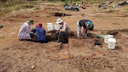
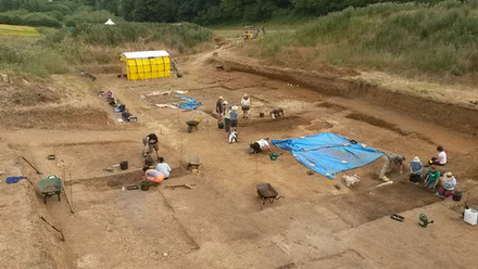
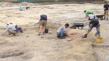
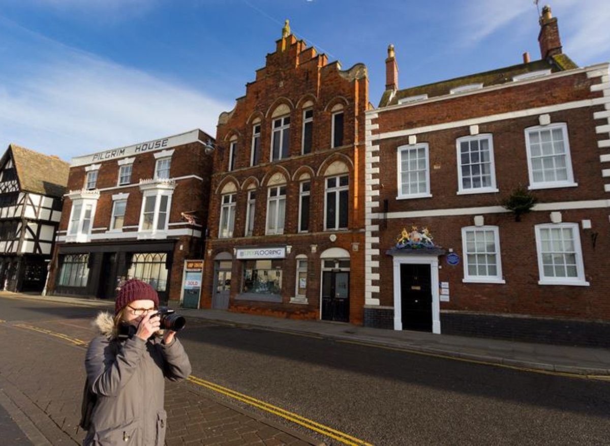
Next, boots are laced, snacks are packed, and the camera is at the ready, because we need to ground-truth! This means going out into the town and making sure that all of the research, polygons, and results are correct. It is also an excellent opportunity to take photographs for the report and sample any local cuisines (have you heard of Grantham Gingerbread!?).Once the photos are in, it is then shipped off to edits and we start all over again with the next one!
So, there you have it, a very quick round-up of how the Lincolnshire Extensive Urban Survey is done! There are also loads of other bits and bobs like the website www.lincsabout.town which is where you can read all of these reports. Oh, and did I mention that there is lots of outreach going on? If you would like to know more about how amazing Lincolnshire's towns are, keep an eye out on twitter at @Urbansurvey to find out about all the things that are going on!