Josie Hagan is a third year Bournemouth University Student, currently on a 40 week placement with the New Forest National Park Authority’s archaeology team.
I applied for this work placement after attending a personal development lecture given by Lawrence Shaw, Heritage and Mapping and Data Officer with the National Park, and Jack Powell, a former placement student, about his time at the New Forest.
The work they were doing with Lidar, a technique of using lasers to map the landscape and search for hidden archaeology, seemed really interesting. I also liked the idea of talking to the public about the Forest’s history, which is a big part of the archaeology team’s work. They were both very enthusiastic about the work they were doing and genuinely seemed to love their work — so I thought I’d give it a go!
After emailing, I arranged to come in to the office and give a short presentation to Lawrence, Frank Green (National Park Archaeologist) and James Brown (Community Archaeologist) as part of my interview. It was pretty nerve-wracking stuff, but good practise as I hadn’t any experience with interviews of that kind. Everyone was very friendly and I was offered a placement!
My year in the New Forest was split into three parts. First of all I was working with James Brown, and this involved working with different community heritage groups, taking part in some surveys and arranging events. This meant putting on some training sessions, going on site visits, taking part in surveys and generally trying to facilitate community heritage groups.
One of my favourite tasks was organising a trip to The National Archives at Kew. I hadn’t realised how much is involved in putting on an event like that, so it was great to see it all come together in the end. The feedback from those who attended was really positive and it was exciting to hear about all the research everyone got done that they might not have had the chance to without the trip.
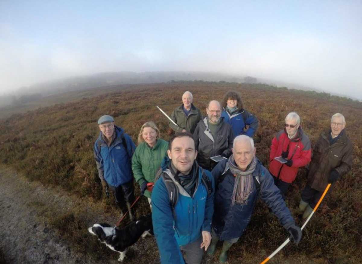
After Christmas I worked with Lawrence Shaw on the Higher Level Stewardship Lidar surveys. This involves going through the Lidar data, historic mapping and aerial photographs of our chosen survey areas and looking for archaeological features. We then prepared maps, uploaded data onto iPads and off we go with volunteers round the forest looking for the features on the ground. Over the last few years this technique has protected and uncovered over 3,000 archaeological features!
Being taught the whole process from start to finish was a fantastic experience and learning how to structure the surveys and make the most effective maps has been a big learning curve. The volunteers are extremely knowledgeable and I have learnt a huge amount about landscape archaeology and the New Forest itself from chatting to them. The survey days are really fun, especially with good weather, and I would recommend them to anyone who has an interest in getting outside and seeing some archaeology.
Another aspect of Lawrence’s work I was involved in was providing archaeological advice to the Forestry Commission. This included a visit to the Bouldnor World War Two gun battery on the Isle of Wight to help preserve the site. I was able to contribute to a series of different aspects associated with managing a site such as this, including management meetings, vegetation management, drone monitoring and advanced research at Kew archives. It was interesting to see the development of this project and the different organisations involved in protecting the site.
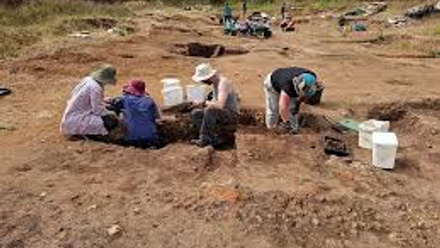
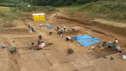
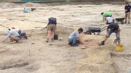
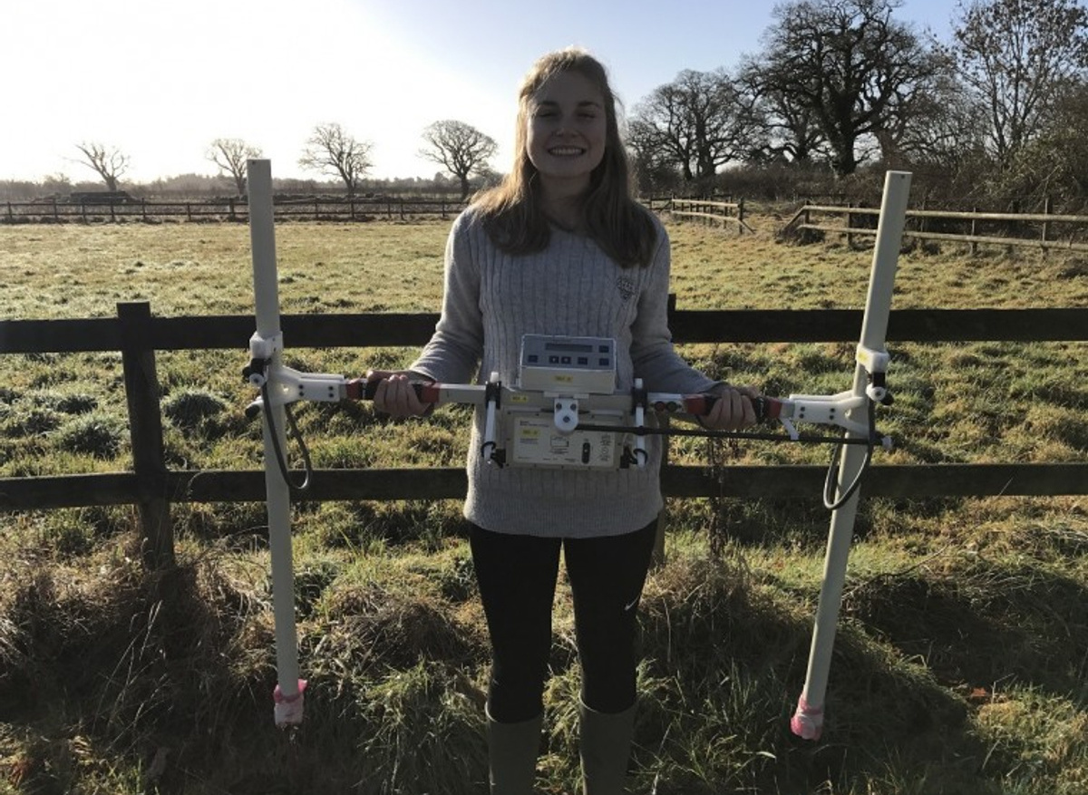
I am currently on the final part of my project, the research project, which will pull in all of the skills I have learnt so far. For this I am running my own geophysical survey of an Ancient Scheduled Monument, Buckland Rings in Lymington (above). I have had to create a Written Scheme of Investigation, which involved gathering all the information on Buckland Rings I could, through books and publications, and contacting Historic England to see if they had any extra information.
After this I contacted various organisations to get permission to carry out the work, and then created maps of the site to be used in the report and for use in the fieldwork. Finally I organised volunteers and students to come help us carry out the fieldwork. We will start surveying on 26 May and I am really excited to see my project come together and see if we get any exciting results!