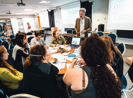

On 13th September 2025, the CBA's Youth Advisory Board hosted Unearthing Futures: a free, youth-led event at the Great North Museum: Hancock in Newcastle, designed to help young people aged 16-25 explore pathways into archaeology. The day brought together over 40 participants for hands-on workshops, career insights, and a photography tour of Newcastle's historic sites.
Whether you attended the event or are discovering it for the first time, this page is your gateway to everything we created. Here you'll find resources from each workshop, reflections from participants and hosts, networking insights from archaeology professionals, and practical guidance to help you take your next steps in the sector.
We've also included suggested statements for CVs and applications, so attendees can showcase their experience, and a recap video capturing the energy and learning from the day. Think of this as a permanent, accessible toolkit, a space where the conversations, skills, and inspiration from Unearthing Futures continue beyond the event itself.
Ready to start your archaeological journey? Explore the sections below to dive into the workshops, hear from the YAB, and discover how you can get involved with archaeology in your own way!
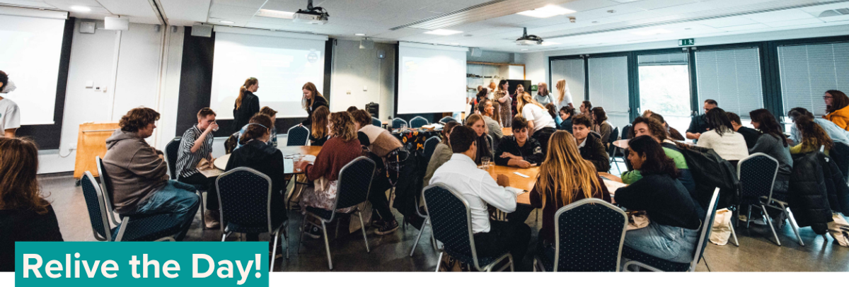
Wondering how it would have felt to be there on the day? Watch our recap video and hear from the hosts and the participants:
This video was shot and edited by Ryan Fallon.


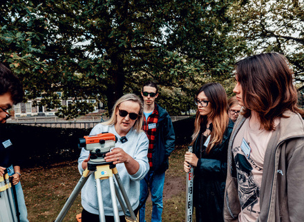
Landscape Survey
Landscape survey is one of the oldest archaeological techniques and can be dated back to the 17th century. By using a suitable measuring tool, it reveals the development of a site through the detailed observation and mapping of visible surface remains. It is an essential process in gaining an accurate understanding of the site and a key method for aiding our interpretation of it.
View more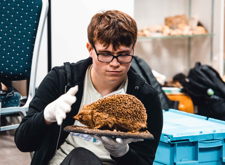
Museum Curation
Museum Curation or Curatorial Practice refers to the processes of acquiring, conserving, researching and exhibiting objects from a museum’s collection. Curatorial roles can be wide-ranging and all-encompassing; their duties can stretch from acquiring new objects and cataloguing collections, to curating new displays and developing public engagement programmes.
View more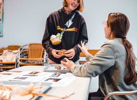
Zooarchaeology
Zooarchaeology is the study of animal remains from archaeological sites: analysing bones, teeth, shells, and other traces to understand past human-animal relationships, diets, economies, environments and cultural practices. Through identifying animal bones and applying scientific methodologies to them, zooarchaeologists can piece together stories about how past people interacted with the natural world around them.
View more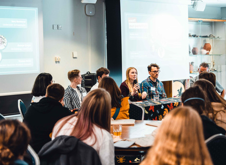
Networking and Careers
At Unearthing Futures, the day began with a panel discussion bringing together archaeologists working across different specialisms to share their own routes into the field and our participants had the opportunity to network with them throughout the day. On this page, we share some of their insight, answer participant questions and chat with the professionals.
View more

To hear more about the YAB's vision and the process of bringing Unearthing Futures to life, check out our article in British Archaeology magazine. The article requires a CBA subscription, but students can join for just £5.

The response to Unearthing Futures exceeded our expectations. With 52 applications for 40 spaces, the event was oversubscribed: a clear indication of demand for accessible pathways into archaeology. Notably, 32% of applicants came from the Northeast, directly addressing the regional access gap the YAB identified, while others travelled from across England, Scotland, and Wales.
Thank you to our Funders and Supporters:
The Great North Museum: Hancock kindly provided the venue and support for this event free of charge, for which we are incredibly grateful.
Unearthing Futures is funded by Historic England, funded by the UK Government.
Our Youth Advisory Board is funded by Historic England and The Headley Trust.