Explore our hub to discover the range of online resources and databases, published and hosted by the CBA for archaeology professionals, students, and enthusiasts.
Taking measurements is just one part of the surveying process. This activity introduces you to plotting dumpy level measurements to create a clear ground profile diagram. By working with real survey data, you will practise turning numerical height readings into a visual representation of the landscape, developing skills used in archaeology, surveying, and construction.
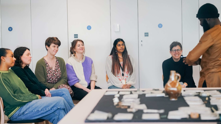
Curatorial roles can often be very varied - whether you are a collections assistant, an assistant curator, project curator or an equivalent role, you will be expected to know and understand a vast range of collections care and management strategies.
Being able to create a basic map of the land is a key skill that will help you understand the landscape around you and identify important natural and human-made features and how these changed over time.