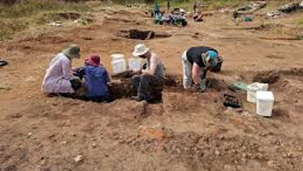
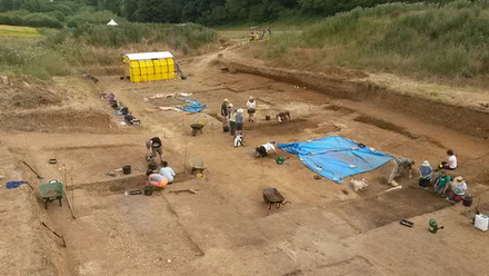
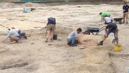
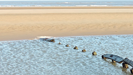
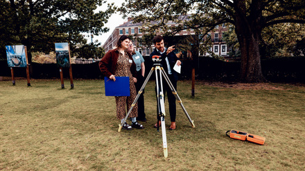
Taking measurements is just one part of the surveying process. This activity introduces you to plotting dumpy level measurements to create a clear ground profile diagram. By working with real survey data, you will practise turning numerical height readings into a visual representation of the landscape, developing skills used in archaeology, surveying, and construction.